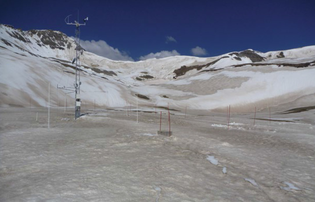
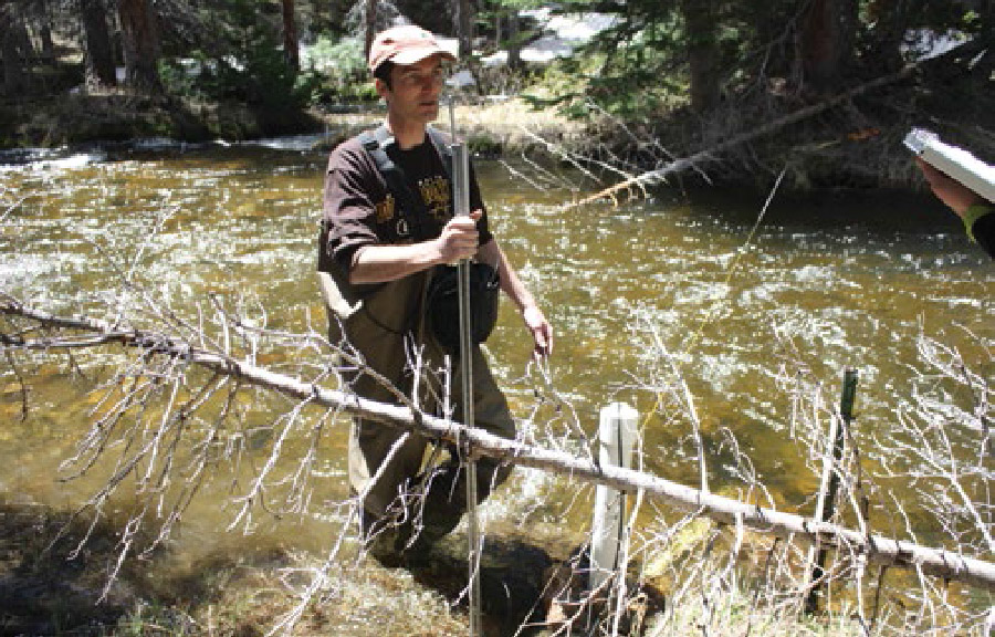
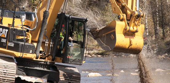
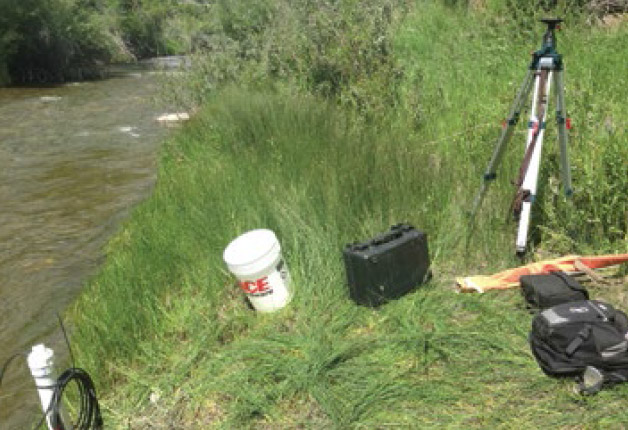
Dust on Snow
A Dirty Mountain Snow Pack Affects Communities Downstream
This story is a sidebar to Supercomputer-Powered Model Improves Water Planning: A Hi-Resolution Hydrologic Model Peers into the Future of Western Water.
In the summer of 1860, farmers in central Colorado found Left Hand Creek dry.[1] They started looking for replacement water.
Square solar panels congregate on weathered tree stumps in a small open area in the Medicine Bow National Forest.
“They’re really beneficial, to get the shrubs in, get the water up.”
I was fortunate to grow up on the banks of Trout Creek, one of the many streams winding its way out of the Wind River Mountains onto mile-high flatlands and eventually to the lower elevations of the Big Wind River, if you consider 4,000 to 5,000 feet to be low.
On a warm summer morning in western Nebraska, 77-year-old farmer Bob Busch stood next to a sugar beet field in a worn denim shirt
Inside the University of Wyoming’s 3-D visualization cave, winter is coming.
A front loader picks up massive boulders as if they are pebbles. A bulldozer shoves rocks into a mound. High-pitched beeps ebb and flow as the machinery works back and forth.