Using technology to detect and map new invasive species arrivals
The Noxious Weed
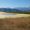
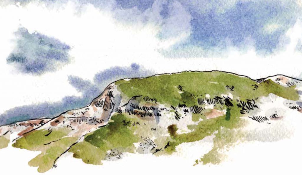
Since dalmatian toadflax was introduced in Wyoming, it has checked off all the boxes of an invasive species—it outcompetes native vegetation, reduces biodiversity, and is not palatable for wildlife or livestock.Land managers in Wyoming still have a shot at reducing or potentially eliminating the weed if they can locate plants before they established large populations. But finding them is the tricky part. Dalmatian toadflax grows in dry, gravelly soil like that found in the South Fork of the Shoshone River on the east side of Yellowstone National Park. The rocky terrain makes it too difficult and dangerous for land managers to survey for dalmatian toadflax. Unchecked, any small populations can grow into a full-on invasion and threaten one of the world’s most cherished protected areas.
Bring it to the classroom with a version of this article modified to an eighth grade reading level.
The Map
Land managers don’t have the time and money to spray every plant. Creating effective strategies to combat invasive species like dalmatian toadflax, then, boils down to mapping their locations. In Wyoming, our maps of invasive species are much more limited than one might think.
Current mapping strategies typically involve a handful of people driving Wyoming’s roads and manually entering data. With thousands of square miles to cover, this approach misses secluded areas, where invasive species might have appeared but not yet become widespread.
 The Researchers
Chloe Mattilio, a PhD candidate at the University of Wyoming, is researching ways to overcome the current obstacles to mapping. Her current work focuses on detecting invasive plants through aerial imagery and creating management plans through mapping. Chloe’s advisor, Dan Tekiela, is an assistant professor and extension specialist in the UW Department of Plant Sciences. Dan works with federal, state, and local agencies as well as private land managers to create more efficient plant management strategies.
The Quadcopters
To solve Wyoming’s mapping problem, Chloe and Dan turned to an unexpected solution—drones. They fly consumer-level quadcopters to take pictures of the landscape using multi-spectral sensors that can detect five different bands of light, identifying invasive plants by the wavelengths of light their leaves and flowers give off. Using the quadcopters, mappers can search larger or more dangerous and secluded areas for invasive species.
The Future
Dan says this research is garnering a lot of interest from land managers, landowners, and others. It’s no mystery why. The images the quadcopters collect could create comprehensive maps of invasive species in Wyoming and help prioritize which areas to target.
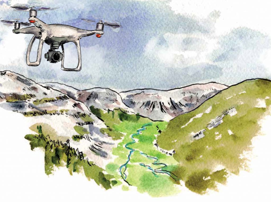
Dan is careful to say this application still a bit far down the road, but has the potential to save land managers time, money, and energy in combating invasive plant species. Creating affordable, user-friendly software to analyze the quadcopter data is the biggest hurdle to overcome before the technology can be widely available.
“When you have so few people, that’s the important thing. If you can chip away at the fact that we don’t have those eyes on the ground by using those sensors, I think it could have major implications,” Dan says.
Text by Sara Teter, artwork by Cal Brackin
Sara Teter was Western Confluence’s 2019 Science Journalism Intern. Cal Brackin is a Wyoming-based illustrator and community development professional who understands how artists are creating change in an interconnected world. See more of his work at onboardinnovations.com.